Current Drought Conditions
Drought Development in Colorado
Colorado receives precipitation through snow and rain. Drought can develop in diverse ways, which makes predicting drought challenging. For example, 2018 had a dry winter on the western slope, where dry conditions were expected in the summer. Conversely, in 2020, we received average snowpack in the winter, but hot and dry conditions in the spring and summer of 2020, coupled with a dry fall in 2019, led to a severe drought in 2020.
In short, ‘average’ snowpack does not necessarily translate to average streamflows or mean that we won’t experience drought conditions. Further, streamflow forecasts don’t always track with forage conditions. For example, streamflows were relatively low in 2015 but extraordinary rains in May of 2015 led to above average forage production on rangelands.
The bottom line: Drought in Colorado can develop in diverse ways.
Frequently Asked Questions
You can find current drought conditions and tools, including an interactive map, on the Colorado Climate Center website. You can also view the US Drought Monitor, an assessment released weekly, using precipitation, evapotranspiration and other data, and local impact reports. The Drought Monitor is connected to federal relief spending with drought disaster programs administered by the Farm Service Agency (FSA).
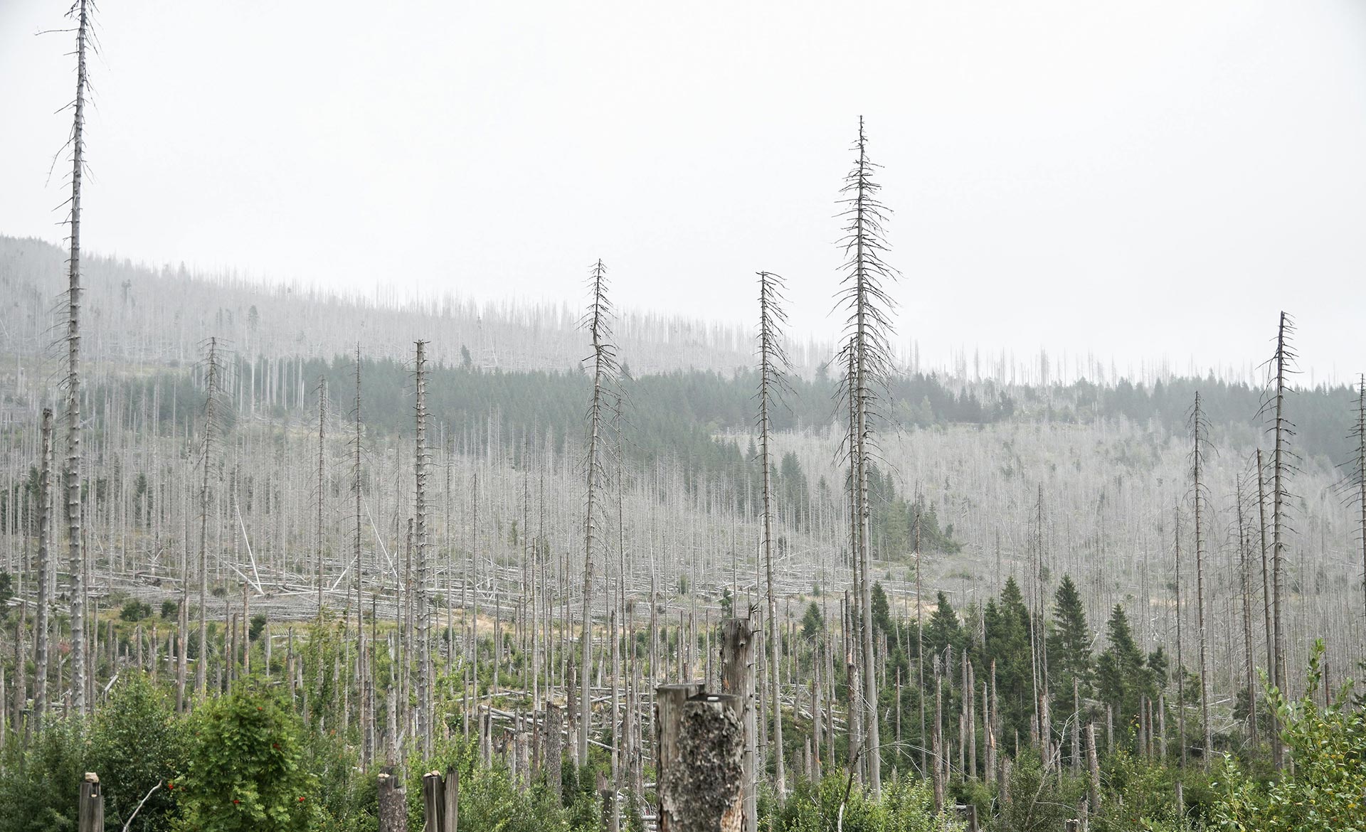
U.S. Geological Survey tool VegDri can be used to look at drought stress on plants. For example, it can be used to assess locally if there are microclimates where vegetation is less or more stressed due to drought. Find additional information and see maps at usgs.gov.
The NRCS Snow Survey Program monitors snowpack to generate streamflow forecasts for Colorado, and the data available may be useful for informing irrigation management among Colorado producers.
Find precipitation and temperature information for your location using the Colorado Climate Center’s data. You can search stations in western Colorado and get data going back to as long as that station has been in business. As an example, the Grand Junction – Walker Field Station has collected data since 1900.
Another option is the High Plains Regional Climate Center maps, which aggregate data of the current year compared to 1981-2010. You can create your own map comparing current / recent temperatures to historic conditions to understand how this year and month for example compare to historical averages.
The drought outlook is a monthly forecast and is based on long-term cycles that influence weather in north America. You can find the drought forecast on NOAA’s Climate Prediction Center website.
Long-term forecasts in Colorado have greater accuracy in winter months in our region). In other words, winter forecasts of La Niña/El Niño have greater ability to predict winter weather, whereas long-term summer forecasts historically have not been reliable.[1] Recent research demonstrates how long-term forecasts like the Pacific Decal Oscillation and El Niña/ La Niña can inform information on forage production on rangelands earlier in the year and potentially before the grazing season begins.
[1] Crimmins, Michael A and McClaran, Mitchel P. (2016) Where do seasonal climate predictions belong in the drought management toolbox. https://www.sciencedirect.com/science/article/pii/S0190052816300268
Drought Conditions by Area
(6,500 – 10,000) – Early Warning of Rangelands Forage Productivity
Mountain ranges are higher elevation, and dominated by grasses that grow best below 75 degrees F. If moisture is available from monsoons, high altitude grazing areas can continue to produce forage into the summer due to generally lower temperatures. However, we know that even at high elevations, spring moisture/ slow snowmelt is absolutely critical for the total amount of forage produced. Using satellite data, we know the rate of growth of grasses slows by early July at the highest elevations ( > 10,000 ft). Even though grass continues to grow into July and may retain high nutritional quality, the rate declines after the early part of the month. This means that if you don’t get good early growth, you are unlikely to make it up even with monsoons.
At lower elevations 6,500-8,500, the rate of growth slows by late June, again pointing to the importance of cool, wet springs and a slow runoff for forage production.
From a planning perspective, the summer forecasts will provide little information on if monsoons will come. Some people rely on assessing the timing and amount of the runoff, observing fall moisture the year before a grazing season, and/or looking at soil moisture early season. Since there is considerable uncertainty and many microclimates, the key is to rely on what is meaningful to you and you past observations.
Early Warning of Rangeland Forage Productivity
There are a few grass species that are responsible for the bulk of foragable production on the plains. The cool season species, western wheatgrass (in the northern and southern plains) and galleta grass (southern plains) require March and early April moisture in the south and mid to late April moisture in the north. These species also experience a bi-modal growth curve which means if they have moisture by late summer, there will be a second fall green up.
Our dominant warm season grasses (blue grama, sides-oats grama, and buffalo grow throughout the plains) and require late spring moisture (late May) and warmer weather (70-95 F) and with monsoonal rains in late July/early August, the total growing season is longer.
(< 6,500) – Early Warning of Rangelands Forage Productivity
From a range management perspective, lower elevations [below 6,500] on the western slope are some of the most challenging to manage well, and drought management is critical to protect resources. Grasses on the western slope are exposed to hotter conditions compared to those at higher elevations. They have a shorter window for growth when soils are wet enough for them to grow, and temperatures are cool enough. Even at lower elevations, the bulk of forage species on the western slope are cool-season grasses, meaning their growth stops when temperatures exceed 75 degrees.
Studies done near Canyonland National Park and Moab, Utah showed that cool, wet springs, predicted the bulk of forage growth in these lower-elevation grasses, and also that very, hot and dry summers could result in grass mortality. In these areas, previous year’s fall moisture, combined with spring conditions are key indicators (Schwinning et al.[1] 2005). The rate of growth in lower elevations (estimated below 6,000 ft) slows by late May, meaning April/ May moisture is absolutely critical for forage production.
[1] Schwinning, S, Starr, B.I, Ehleringer. (2005) Summer and winter drought in a cold desert ecosystem (Colorado Plateau) part I: effects on soil water and plant water uptake. https://www.sciencedirect.com/science/article/abs/pii/S0140196304001417